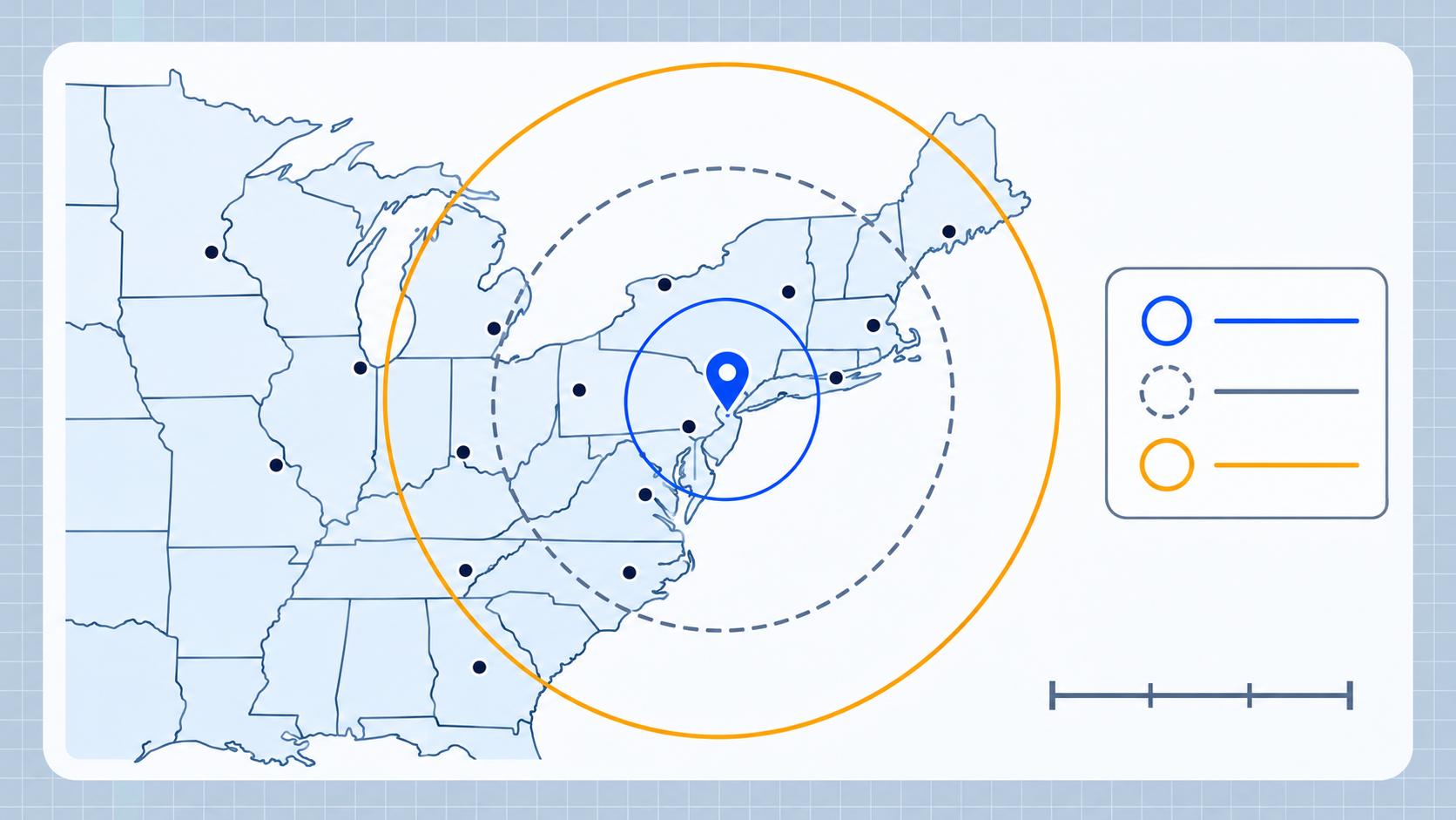
When someone searches for cities within 100 miles of me, the useful answer depends on where they start. A 100-mile circle around New York reaches Philadelphia, while the same distance around Los Angeles reaches a completely different group of cities. Distance bands are a quick way to turn that question into a map you can explore.
What 100, 300, and 500 miles mean
These distances are straight-line, great-circle distances. They are useful for comparing places on a map, but a driving trip is usually longer because roads do not follow a perfect circle.
- 100 miles is a local or day-trip scale.
- 300 miles often covers a wider regional network.
- 500 miles can connect several large metro areas, depending on geography.
You can enter a center city and switch between miles and kilometers with the cities-within-distance tool.
Around New York City
New York is a useful example because several large cities sit close together in the Northeast.
- Within roughly 100 miles, Philadelphia is a major nearby reference point.
- Within roughly 300 miles, Baltimore and Washington, DC become likely candidates.
- Within roughly 500 miles, Toronto and a much larger part of the Northeast and Mid-Atlantic are in range.
The result is not a travel itinerary. It is a geographic comparison: a city can be inside the circle even if the fastest driving route is much longer.
Around Chicago
Chicago’s central location makes its distance bands look different. A 100-mile search includes nearby Illinois, Wisconsin, and Indiana communities. At 300 to 500 miles, the circle begins to include cities across the Midwest, such as Detroit, Minneapolis, St. Louis, and parts of the Ohio Valley.
This is why a distance clue can be more useful than a state boundary in geography games. The circle shows what is physically nearby, not only what shares a political border.
Around Los Angeles
Southern California has a dense local cluster, but the next large cities can be much farther apart than in the Northeast.
- A 100-mile range can cover many Southern California cities.
- A 300-mile range reaches farther into California and nearby desert cities.
- A 500-mile range begins to connect Los Angeles with much of the Southwest.
Use the map rather than assuming every 500-mile circle has the same number of cities. Population density, coastlines, and mountains all change the result.
How to check a distance from your location
Open the city distance radius tool, select Use My Location or search for a city, choose miles, then enter 100, 300, or 500. The results list shows cities inside the selected circle and the map makes the boundary easy to compare.
For a different kind of challenge, try using two separate distance clues in the city triangulation tool. Where the two circles meet is often a much smaller set of possible cities.