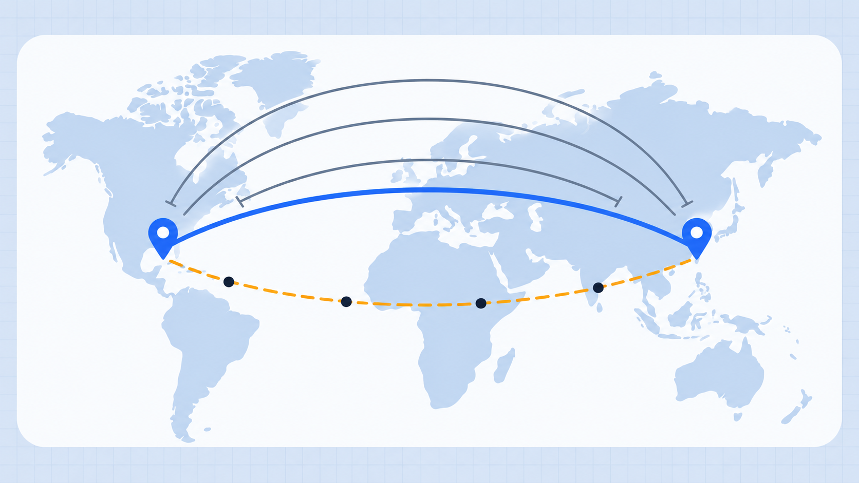
Distance guessing games reward a skill that improves with practice: turning a map in your head into a rough scale. You do not need to memorize every route. A few reliable anchors, a sense of continental width, and a calm way to revise a first estimate make a large difference.
Build a small set of anchor distances
Start with routes that connect places you already know. London to New York, Paris to Rome, New York to Los Angeles, and London to Tokyo are useful because they cover several common map scales.
The point is not to recall every number perfectly. It is to ask: is this new pair shorter or longer than an anchor route, and by about how much?
Use continents as rough rulers
At a global scale, broad comparisons work surprisingly well. A trip across the contiguous United States is several thousand kilometers. Europe to East Asia is usually much longer than a trip within Europe. Places at high latitude can look deceptively far apart on a Mercator map, so remember that east-west distances shrink closer to the poles.
Make the first estimate useful
When a game gives high-or-low feedback, your first number should be a sensible midpoint rather than a wild guess. Treat the feedback as an interval:
- Make a broad but informed first estimate.
- Use high or low feedback to remove half the plausible range.
- Make the next estimate closer to the middle of what remains.
This is more reliable than chasing an exact number immediately.
Learn from the answer city
After each round, compare the actual distance with the route you imagined. Was the error caused by latitude, by an unfamiliar regional city, or by confusing straight-line distance with a road trip? Naming the reason helps the correction stick.
The Distance Guess game is designed for this kind of repeat practice: it gives you city pairs, multiple attempts, and direct high-or-low feedback. You can also use the distance between cities calculator to inspect any route after a round.
Practice patterns, not trivia
Good players tend to recognize patterns: island-to-mainland routes, coast-to-coast routes, north-south travel, and pairs separated by a mountain range or ocean. Over time, those patterns become faster than trying to remember isolated facts.
For a puzzle with distance clues from known cities rather than a direct pair, use the city triangulation tool. It turns the same mental-map skill into a map of possible answers.